Meet the UX5 HP
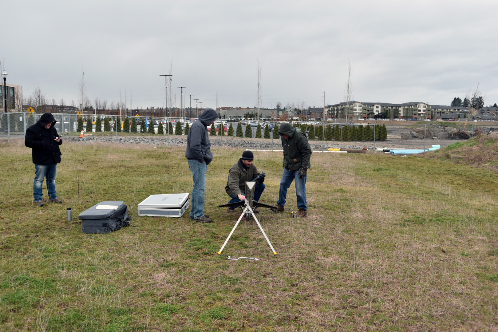
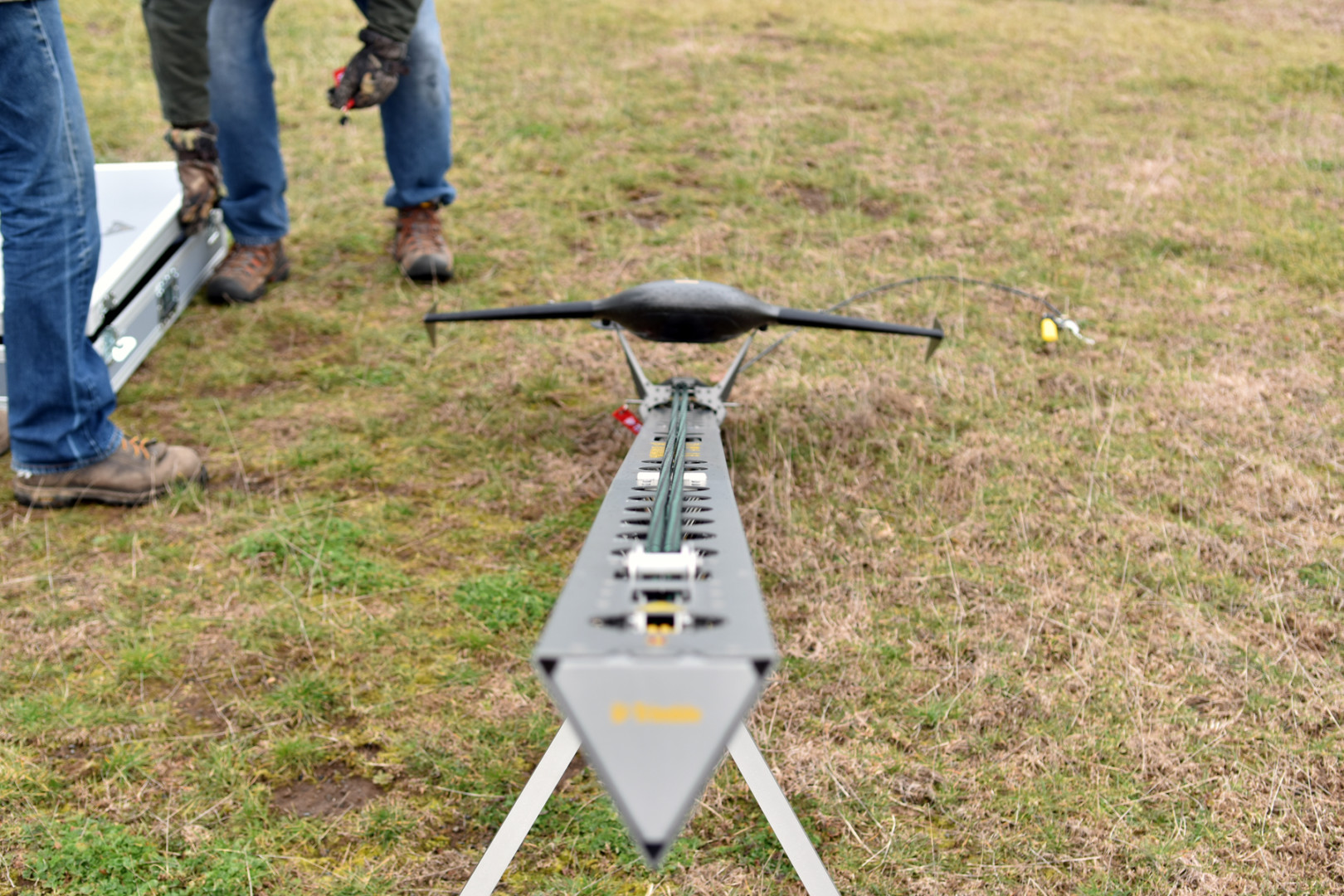
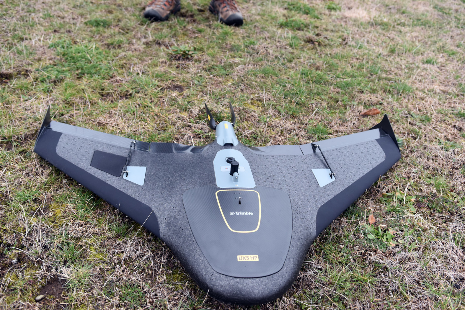
 GeoDesign recently expanded its services with the UX5 HP fixed-wing drone, or UAV (unmanned aerial vehicle). The UX5 HP is a professional grade aerial mapping system that captures high resolution photographs. This system is well suited to rapidly collect aerial imagery and topographic information at large sites where traditional surveying techniques would not be effective or efficient. We can collect data from hundreds of acres in a matter of hours.
Featuring:
- 36 MP high resolution camera to capture images down to 1 cm ground sample distance (GSD)

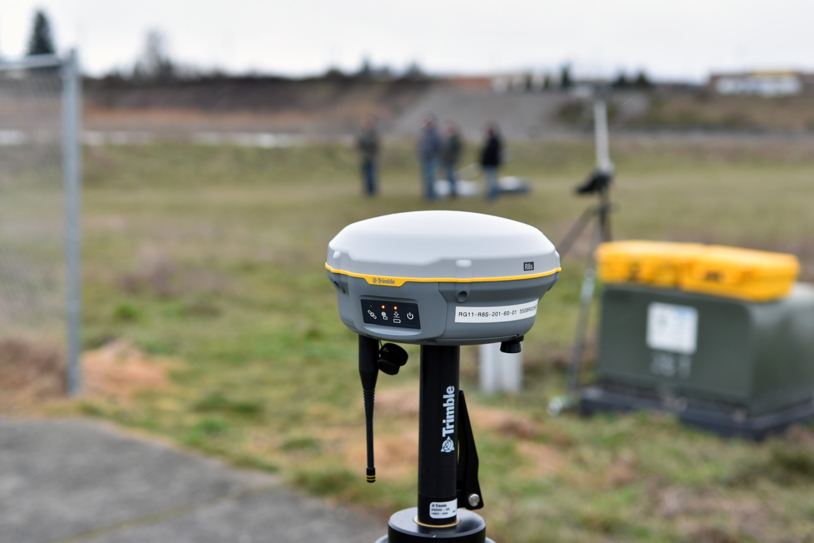
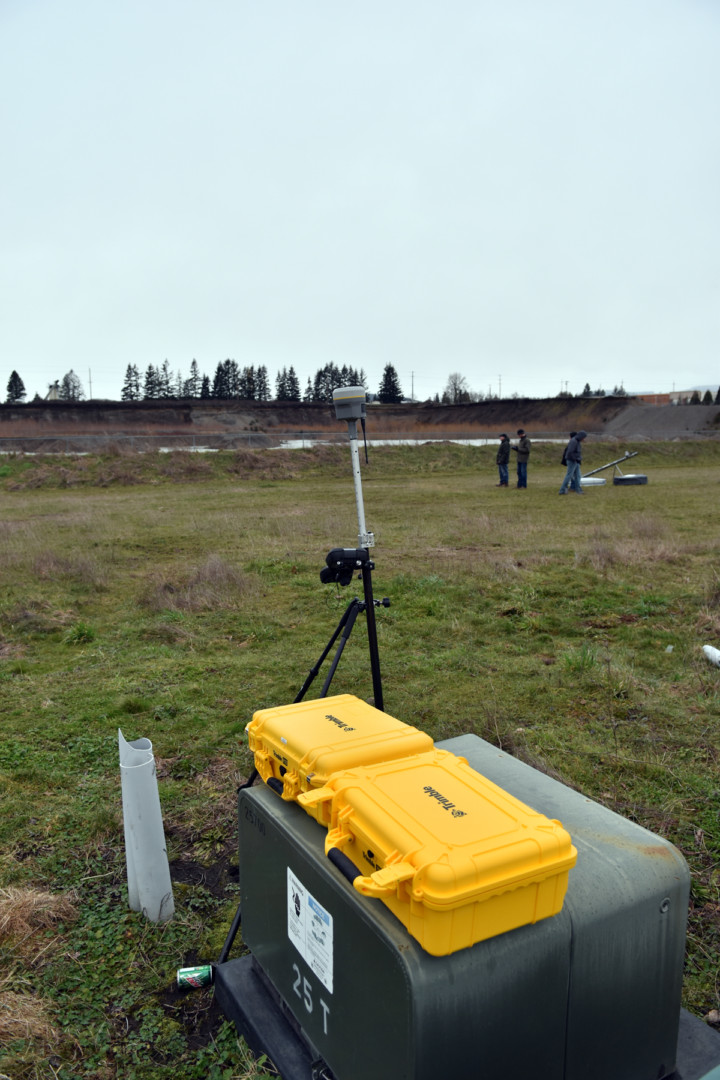
- High-performance Trimble GNSS receiver with post-processed kinematic (PPK) technology, offering superior georeferencing of aerial data

The UX5 HP System Enables us to offer:
- Aerial imagery for large properties (orthorectified photo-mosaics / “orthophotos”)
- Point clouds or TIN models for use in CAD- or GIS-based applications
- Topographic data down to centimeter-scale resolution
- Contour maps, slope gradient maps, and other derivative products
- Mining and large-scale earthwork quantity assessments (e.g. volume estimates for stockpiles, excavations, etc.)
Contact us today
To find out more about our UAS-related services, please contact:
Erick Staley, Senior Associate Geologist
503-726-3176; estaley@gdinc.nv5.com
Roy Garrison, Principal, Mining Consulting
360-232-5211; rgarrison@gdinc.nv5.com