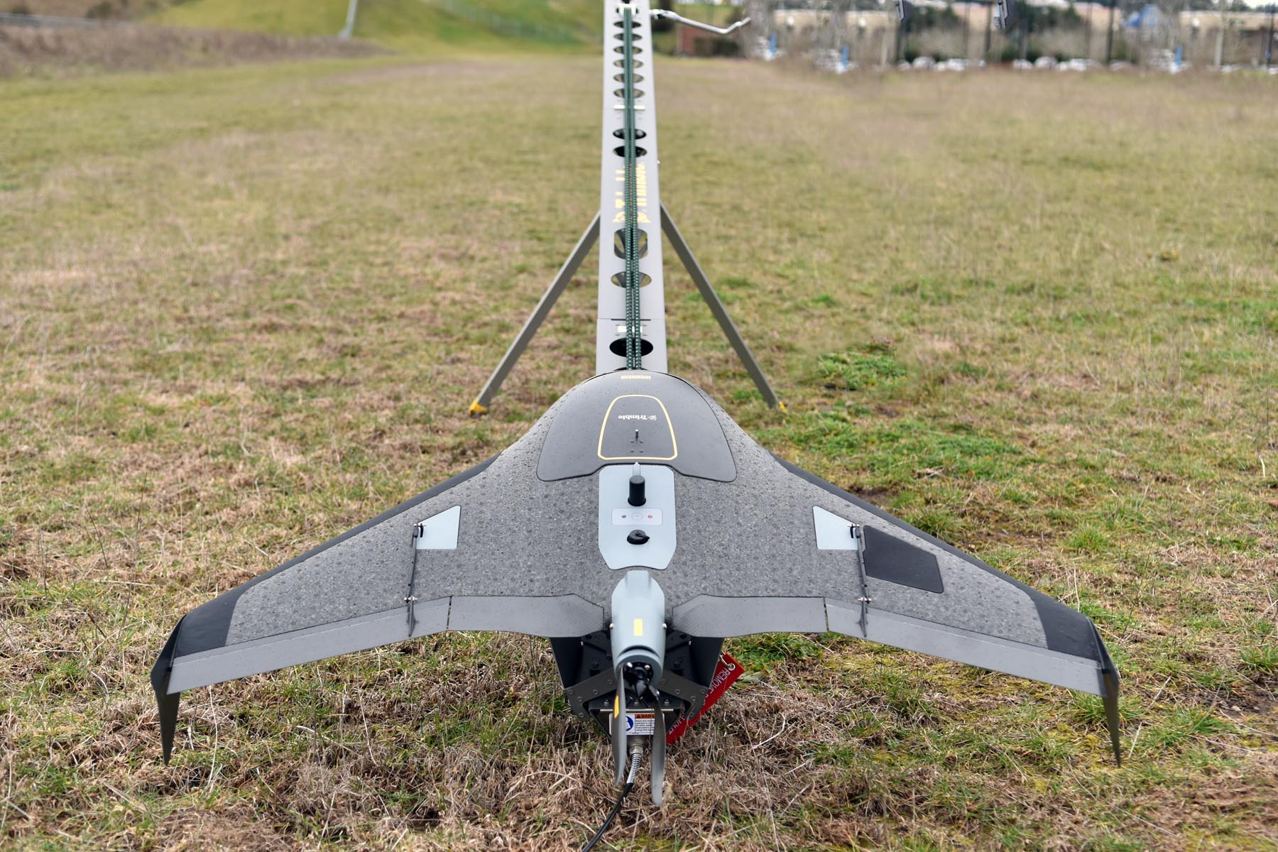
Meet the UX5 HP

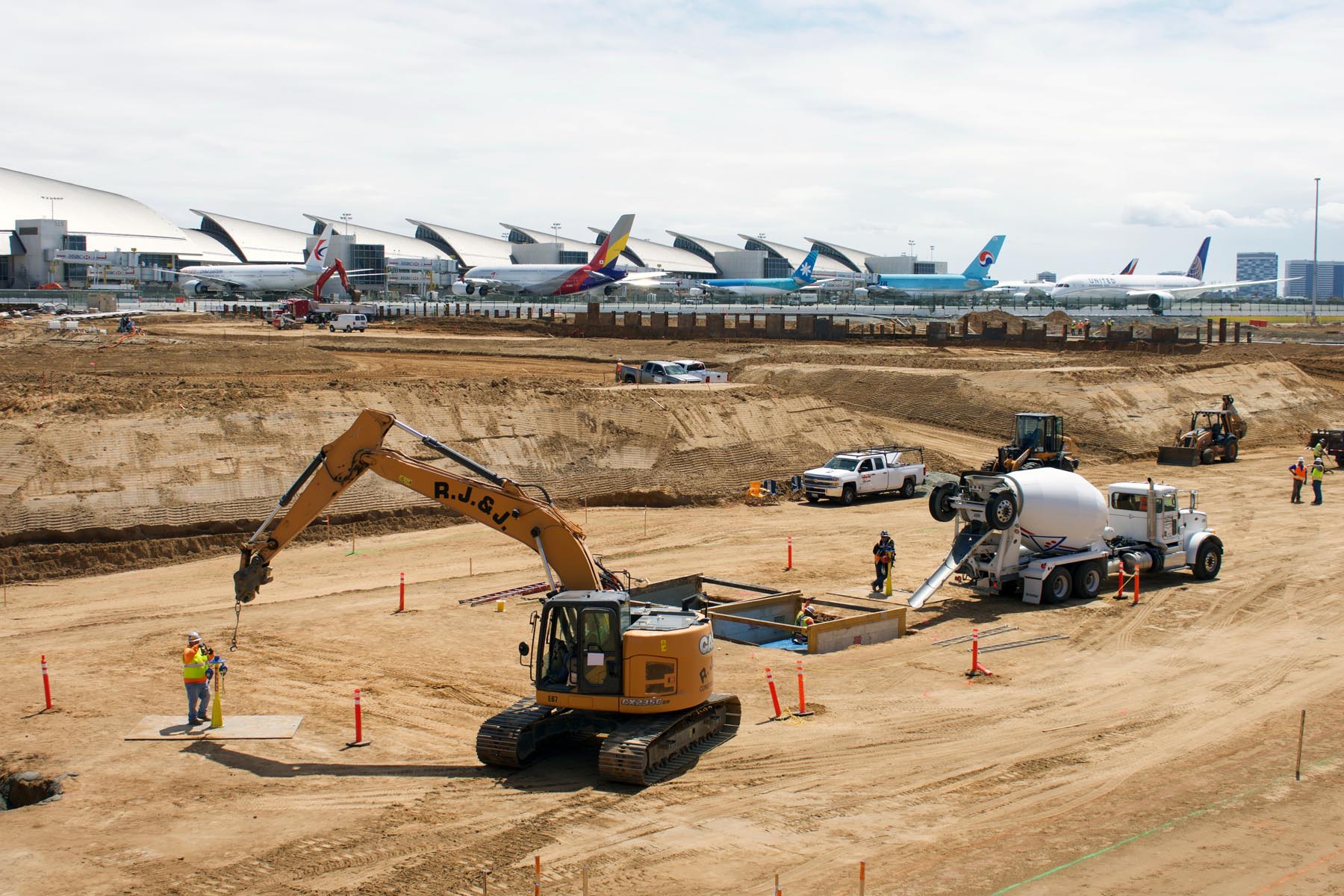
GeoDesign recently expanded its services with the UX5 HP fixed-wing drone, or UAV (unmanned aerial vehicle). The UX5 HP is a professional grade aerial mapping system that captures high resolution photographs. This system is well suited to rapidly collect aerial imagery and topographic information at large sites where traditional surveying techniques would not be effective […]
Categories: Blog, In the Press


